High Impact Maps and Images
View our 3D mapping slideshow!
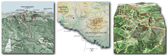
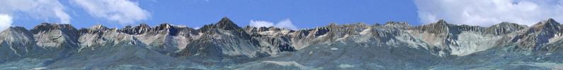
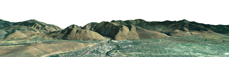
Interpreting complex spatial relationships from 2-dimensional maps can be daunting even for experienced cartographers. To quickly orient viewers to important features and concepts, try 3-dimensional mapping. To fully leverage the high-impact qualities of 3D rendering, we've developed our own software with features to serve virtually any need. Software features include textured objects (buildings, trees, etc), shadow casting and atmospheric attenuation.
We've worked extensively with diverse users, including internationally acclaimed publications, producing imagery that runs the spectrum from global views to highly detailed site-specific renderings. Our ability to render at extremely high resolutions is popular with those looking for large poster-sized imagery. Here's your chance for a refreshingly different look and feel from the standard filler material produced by the prominent "shrink-wrap" packages.
For samples of our 3D mapping, visit our 3D mapping projects portfolio and here's our map gallery.