I've been thinking about various methods for visualizing subsurface phenomena - things like ore bodies, pollutant plumes, etc - within the context of overlying surface features. The first thing that came to mind was to make the surface landscape transparent and have the subsurface volumes show through. I haven't been able to get this to work in a way that I can understand what's going. Look at this image for instance:
(Click for high res version)
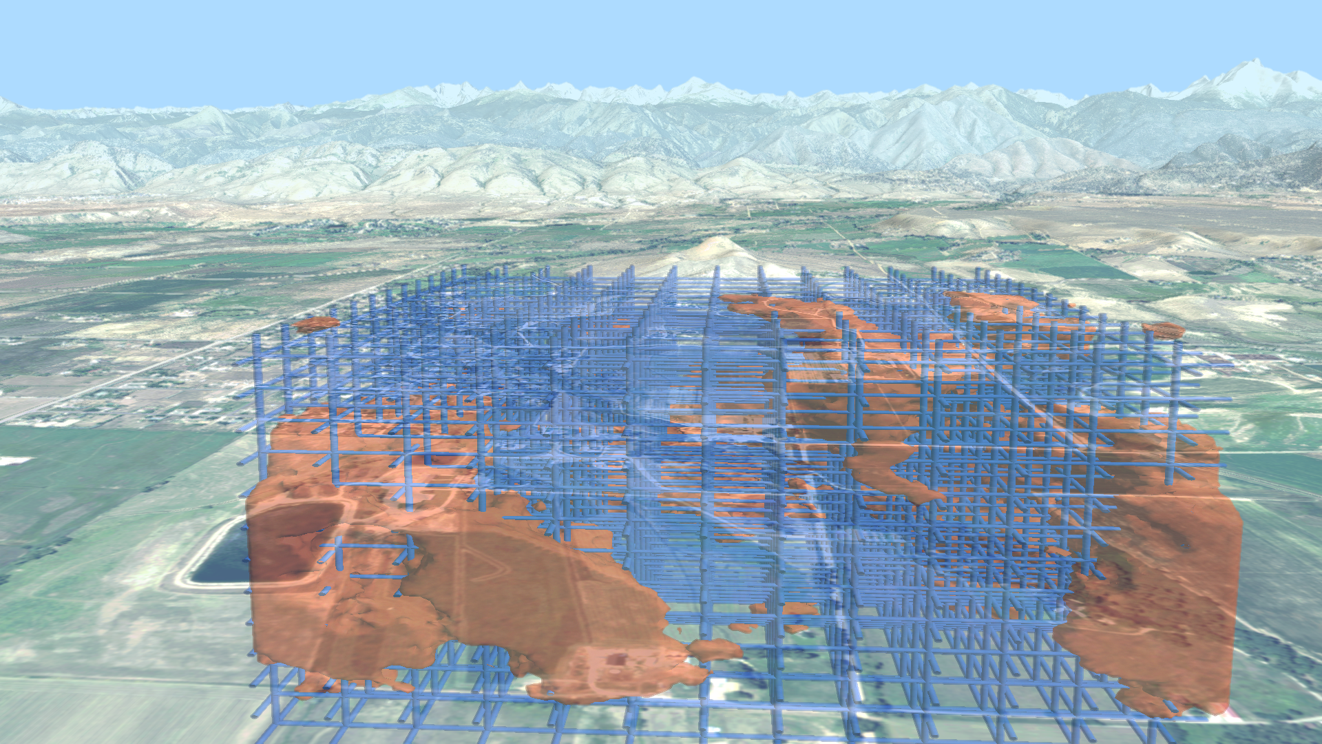
I've added a grid to try to help orient, but it just doesn't work for me. The lake in the lower left looks like it's below the level of the subsurface features (the subsurface features are actually set back quite a ways.) Obviously I would need to work a lot on depth cues to make this usable.
I've come up with two other ideas that I haven't seen used. One is the "porthole to the beyond" effect (poke a hole in the z-buffer and fly on in); another is the "sinkhole" or "melting mountains" effect. Here's an animation that shows them both. It begins with the "porthole" effect, flying into a polygonal hole in the landscape. After breaking back through the surface, it flies to an overview showing the "sinkhole" mode.
It's still pretty disorienting, but I really like the effects!
Monday, December 3. 2012
Subsurface Visualization
Trackbacks
Atmospheric Visualization - Katrina Example
In my last post, I looked at some unusual options for visualizing subsurface phenomena. The subsurface bodies in that example, which might represent pollutant plumes or ore bodies, were generated as isosurfaces from fractal volumes. Another volume mod
Weblog: CTM image gallery
Tracked: Dec 06, 13:56
ZAk
Zak